Dempster Highway and Tuktoyuktuk
Overview
Print Page
Route - 2840 km / 1765 mi
| Day | Location | Distance | Duration |
|---|---|---|---|
| 01 | Whitehorse to Stewart Crossing | 354 km / 220 mi | Approx. 4 hours |
| 02 | Stewart Crossing to Dawson City | 179 km / 111 mi | Approx. 2 hours 15 minutes |
| 03 | Dawson City and Surrounds | All day | |
| 04 | Dawson City to Tombstone Territorial Park | 125 km / 78 mi | Approx. 1 hour 30 minutes |
| 05 | Tombstone to Eagle Plains | 300 km / 186 mi | Approx. 4 hours 30 minutes |
| 06 | Eagle Plains to Inuvik | 365 km / 227 mi | Approx. 6 hours |
| 07 | Inuvik to Tuktoyuktuk | 150 km / 93 mi | Approx. 2 hours 30 minutes |
| 08 | Tuktoyaktuk To Nitainlaii Territorial Park | 350 km / 217 mi | Approx. 5 hours 30 minutes |
| 09 | Nitainlaii Territorial Park to Engineer Creek | 350 km / 217 mi | Approx. 5 hours 30 minutes |
| 10 | Engineer Creek to Tatchun Creek Campground | 500 km / 311 mi | Approx. 6 hours 30 minutes |
| 11 | Tatchun Creek to Whitehorse | 200 km / 124 mi | Approx. 2 hours |
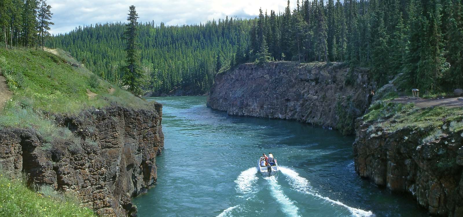
Whitehorse to Stewart Crossing
Stewart Crossing to Dawson City
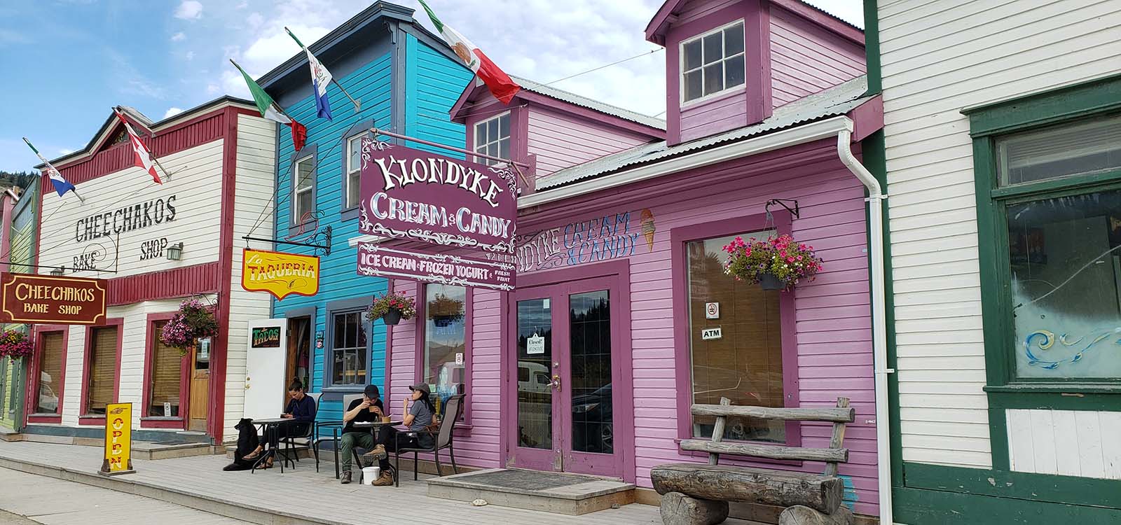
There’s a treat in store today as you set your compass for Dawson City, a town inseparably linked to the Klondike Gold Rush of 1896-1899. Buildings from those days, both derelict and restored, give visitors an insight into those heady days.
Dawson City and Surrounds

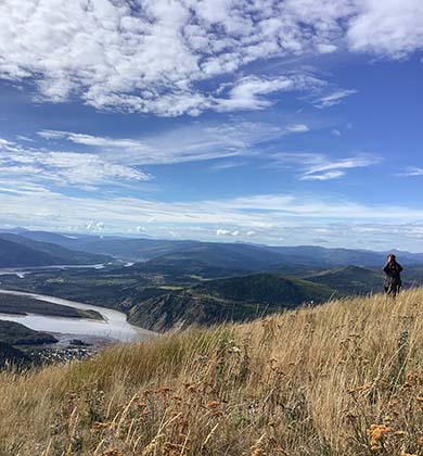
Dawson City to Tombstone Territorial Park
Tombstone to Eagle Plains
Eagle Plains to Inuvik
Inuvik to Tuktoyuktuk
The Tuktoyaktuk Highway was completed in 2017, providing a year round road into and out of the hamlet.
Tuktoyaktuk To Nitainlaii Territorial Park
Nitainlaii Territorial Park to Engineer Creek
Tatchun Creek to Whitehorse
Engineer Creek to Tatchun Creek Campground
Trip Details
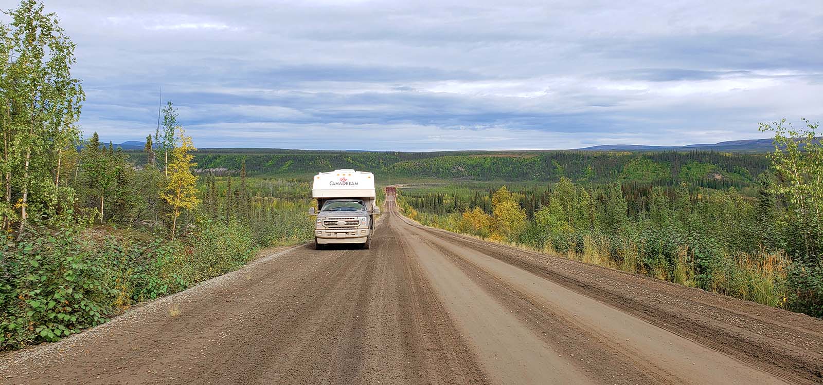
Pick up your RV today at our Whitehorse location and head north on Highway 2 to begin your Arctic Bound adventure. There’s no urban sprawl on this road, so you can enjoy the scenery and nature as you meander your way through sparsely populated towns to your overnight destination in Stewart Crossing.
Stop en route in Pelly Crossing where cultural displays and artifacts of the Northern Tutchone are housed in a replica of Big Jonathan House. The days are long, and you should have no problem getting to Stewart Crossing in daylight, but Pelly Crossing is a closer option for your overnight stay should you not wish to travel so far on your first day.
Recommended camping: Moose Creek Government Campground – 25km NW of Stewart Crossing
There’s a treat in store today as you set your compass for Dawson City, a town inseparably linked to the Klondike Gold Rush of 1896-1899. Buildings from those days, both derelict and restored, give visitors an insight into those heady days.
For a more natural camping experience here, cross the river to the Yukon Government campground. Full service campgrounds are also available in the ‘city’. Tonight perhaps, head out for a meal and then take in the can-can show at Diamond Tooth Gerties.
Recommended camping: Yukon Government Campground or one of the full-service campgrounds in town.
Spending only a day in Dawson City may have you in a quandary as to what to choose to do and see.
Some choices are:
- Take a city tour with Klondike Experience
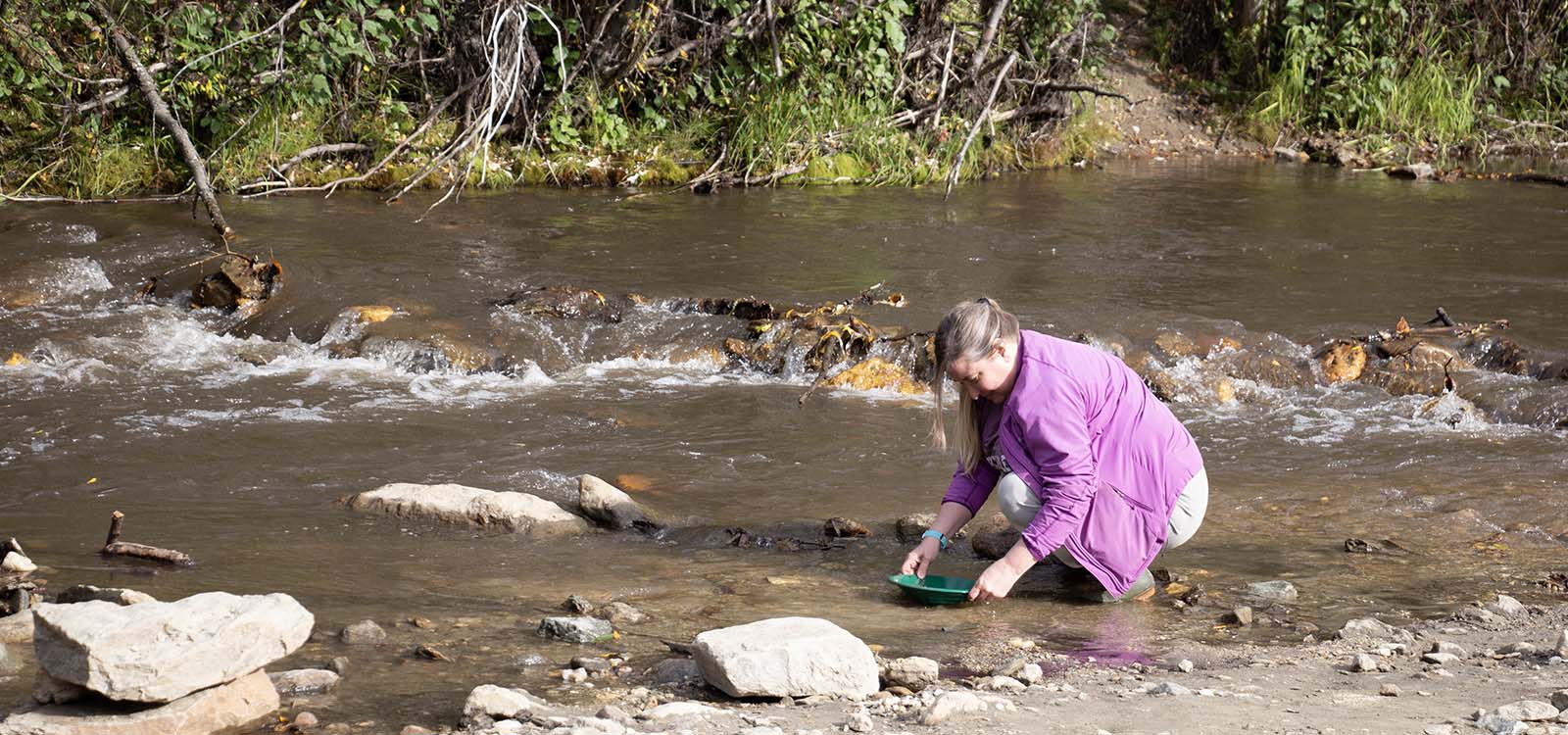
- Go gold panning at the public claim
- Visit the Jack London Museum
- Join the Sour Toe Cocktail Club
- Head up the Midnight Dome for Epic Dawson City Views
- Walk through the historic downtown area
- Robert Service Cabin and the Dawson City Museum
- Visit the ss Keno
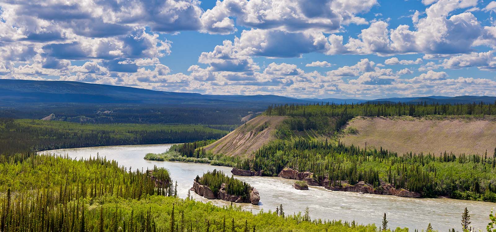
- Paddle the Yukon River
- Learn about First Nations history in the Dänojà Zho Cultural Centre
Ensure you start your journey up the Dempster Highway with a full tank of gas. There’s a fuel stop at Mile 0 if you need to top up and, of course, you’ll need the mandatory photo at the Mile 0 Dempster Highway sign!
Today we’re heading to some pristine wilderness in Tombstone Territorial Park. The campground here is one of the few Government campgrounds which takes bookings and it’s popular, so we recommend you snag your site in advance.
Hiking and wildlife viewing are the two most popular pastimes here. In summer you can attend an interpretive guided hike or campfire program to further experience the cultural and natural history of the park. If you’re travelling in the spring or fall, look up to the night sky – there’s a strong chance you might catch an aurora here Recommended camping: Tombstone Territorial Park
Recommended camping: Tombstone Territorial Park
If you didn’t do so yesterday, stop at the the viewpoint just north of the campground (km74) for stunning views of the Park and surrounding area.
In the fall, the colours are spectacular. Look out for wildlife as you travel today and drive carefully.
Today's Highlights:
KM158 – Chapman Lake Airstrip
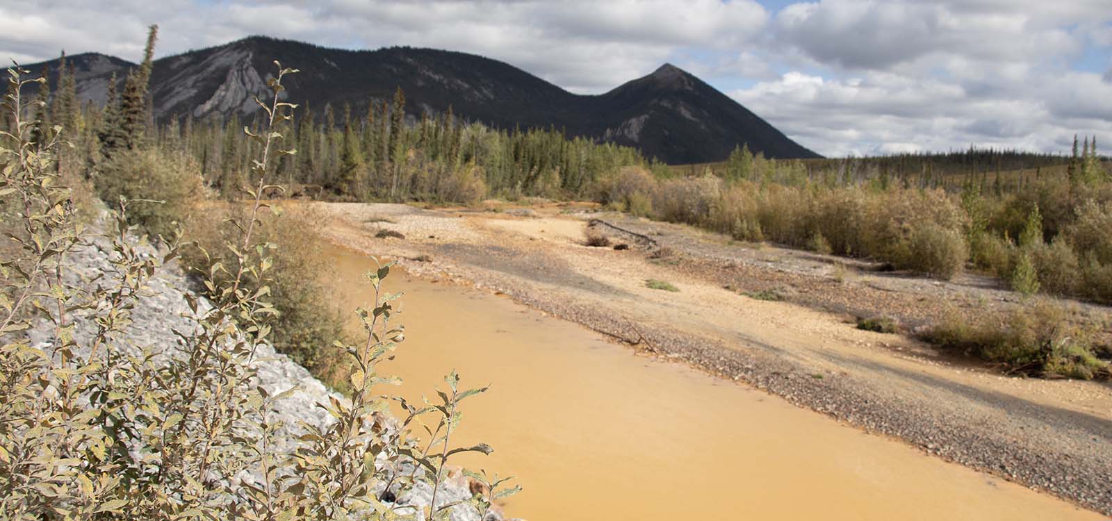
KM180 – Red Creek. The hills and creeks are a rusty brown due to high levels of iron
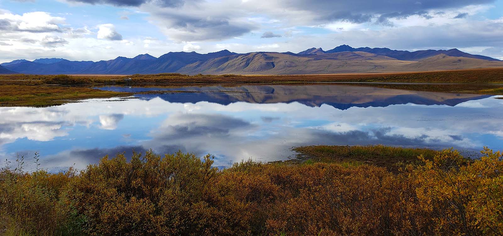
KM260 - Ogilvie Ridge Viewpoint. Enjoy great views of the tundra and mountains
KM405 - Your overnight destination at Eagle Plains
While Eagle Plains has a permanent population of only 5 people, it’s a hive of activity. Here you can fill your RV’s freshwater tank, top up with fuel and find a camping spot with electricity.There’s also a restaurant and non-camping accommodation.
Recommended camping: Eagle Plains – showers, toilets, electrical hookup and fresh water available at shower block.
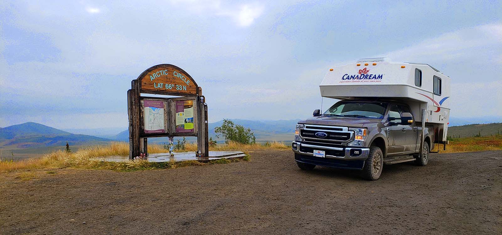
An early start is recommended as there’s a lot of ground to cover. 45km north of Eagle Plans is the famous Arctic Circle sign and an iconic photostop.
KM465 has you crossing the boundary between the Yukon and NWT – another opportunity for a photo. You have two free ferry crossings today, the first at Peel River. You might experience a small delay here depending on other traffic, but you’ll soon be on your way. The second crossing is at the Mackenzie River.
Inuvik marks the end of the Dempster Highway and the opportunity to buy food, gas and refill your propane tank. You may even like to run your RV through the truck wash. Inuvik has a permanent population of just over 3000 people who are often keen to show you their town. Be sure to empty your grey and black water tanks here.
Today's Highlights:
- Canoeing, fishing, hiking, cycling in summer months
- Walk the Boot Lake Trail
- Visit the Igloo Church
- Canada’s most northern greenhouse
- Tour the Centennial Library
- Enjoy a view of the Delta from the observation tower at Jak Park.
Recommended Camping: Happy Valley Campground. Electrical and water hookup and dump station. Hot showers and laundry.
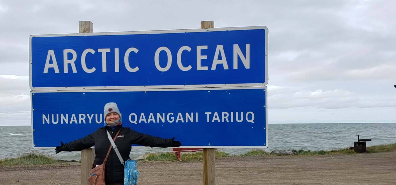
The Tuktoyaktuk Highway was completed in 2017, providing a year round road into and out of the hamlet. Tuktoyaktuk is an Innuit word meaning “Reindeer that looks like caribou", and it was established in 1936 as a Hudson’s Bay Company trading post and transport depot. The road is the only public highway to the Arctic Ocean in North America.
See and Do in Tuktoyaktuk:
- The scenery along the road
- Tuktoyaktuk Welcome Sign
- Arctic Ocean Welcome Sign
- Explore the Pingo National Landmark
- Dip your toes in the Arctic
- Lady of Lourdes Ship
- ATV tours through scenic trails
- Stroll around town and meet the locals
- End of the Trans Canada Trail
- Grandma’s Kitchen (seasonal)
Recommended Camping:
The Point – right on the Arctic Ocean near the sign. Basic camping with picnic table and toilets nearby. Visit the Hamlet of Tuktoyaktuk’s office or after hours at the Visitor Centre to pay overnight fee.
View more information about Tuktoyaktuk.
Bid farewell to the Arctic Ocean this morning and begin your return trip to Whitehorse. There’s still lots to see and experience on the journey. While you already travelled both the Tuk and Dempster Highways, the scenery looks different as you travel in the opposite direction Be sure to empty your waste tanks in Inuvik and check you have full tanks of fuel and propane, as services are limited for the next 700km. The park is home to several natural wonders of the Mackenzie Delta region: limestone cliffs, rare Arctic plant communities and migratory bird staging areas. The Visitor Centre here offers a fascinating glimpse of the life of the Gwich’in Dene people, past and present.
Recommended Camping: Nitainlaii Territorial Park Campground – on the shores of the Peel River. No hookups, no water fill and no sani dump. Showers and flush toilets available.
Your day starts with the ferry crossing over the Peel River and continues back over the NWT/Yukon border south to Eagle Plains.
22km north of Eagle Plains, you’ll find a section of the highway that doubles as an airstrip. The Wiley Aerodrome has a pull out off the side of the highway for small planes to park – look out for the “Watch for aircraft landing on highway” sign. Stop at the Ogilvie Ridge Viewpoint for a 360 view of the area. Meander your way down to your overnight stop at Engineer Creek.
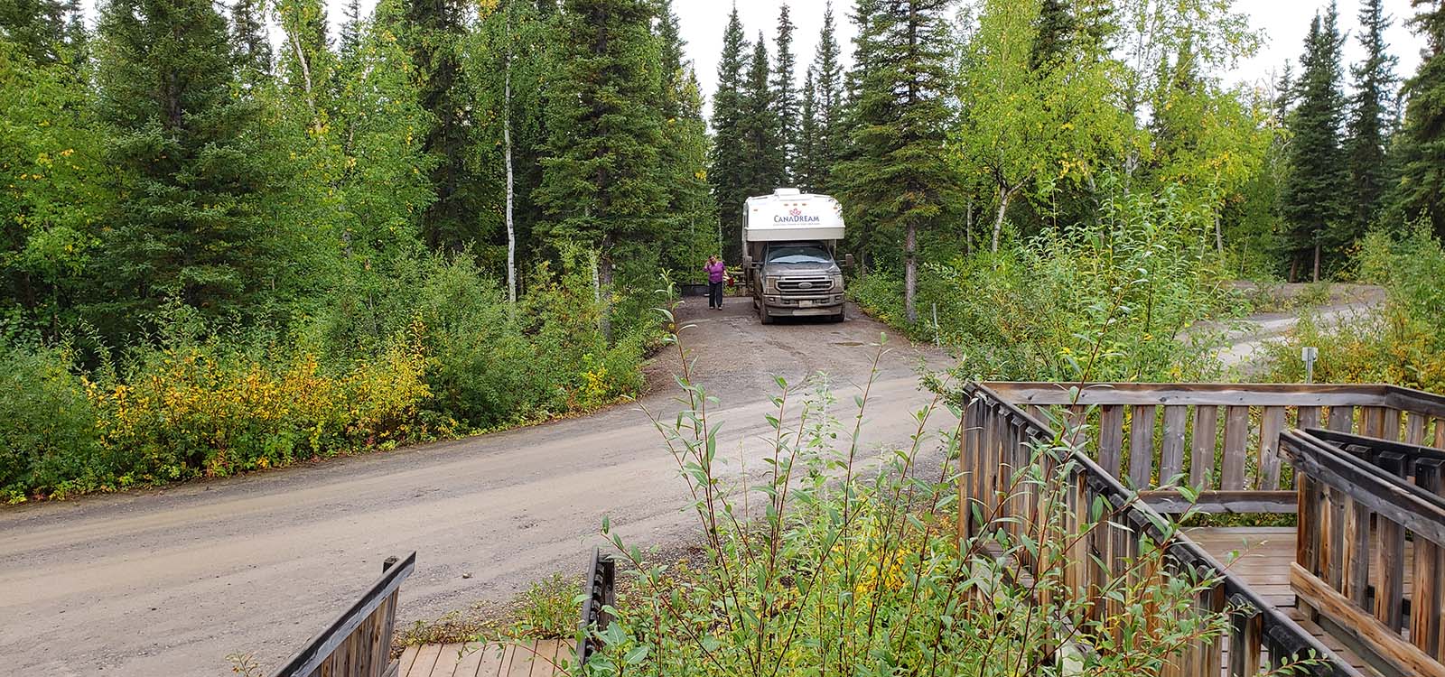
Recommended Camping: Engineer Creek Campground. No hookups, no water fill and no sani dump. Pit toilets.
Recommended reading to prepare for your Dempster Highway Experience
Today you’ll leave the gravel behind as you end your Dempster experience and rejoin paved highway 2 (the Klondike Highway) at Dempster Highway mile 0. If you need fuel, get it at the cardlock at Mile 0.
Enjoy the scenery and stop at viewpoints (don't miss Five Finger Rapids) as you travel south to your overnight stop just north of Carmacks.
Recommended Camping: Tatchun Creek Campground (26km north of Carmacks). No hookups, no water fill and no sani dump. Pit toilets.


