PEI Circle Tour
Overview
Print Page
Route - 1311 km / 815 mi
| Day | Location | Distance | Duration |
|---|---|---|---|
| 01 | Halifax to Wood Islands | 180 km / 112 mi | Approx. 3 hours (depending on ferry schedule) |
| 02 | Wood Islands to Georgetown (via the Kings Byway) | 93 km / 58 mi | Approx. 1 hour 23 minutes |
| 03 | -- | ||
| 04 | Georgetown to Rustico | 219 km / 136 mi | Approx. 3 hours |
| 05 | Rustico | ||
| 06 | -- | ||
| 07 | Rustico to Cedar Dunes Park | 143 km / 89 mi | Approx. 2 hours |
| 08 | Cedar Dunes Park to Summerside (via North Cape) | 198 km / 123 mi | Approx. 3 hours |
| 09 | Summerside to Charlottetown (Route 225) | 72 km / 45 mi | Approx. 1 hour |
| 10 | Charlottetown | ||
| 11 | Charlottetown to Sackville (via Confederation Bridge) | 193 km / 120 mi | Approx. 3 hours |
| 12 | Sackville to Halifax | 213 km / 132 mi | Approx. 2 hours 20 minutes |
Halifax to Wood Islands
Wood Islands to Georgetown (via the Kings Byway)
Prince Edward Island is divided into three counties, Prince at the western end, Queens in the middle and Kings on the eastern end. Today you’ll explore Southern Kings County, which makes up part of the Points East Coastal Drive.
Georgetown to Rustico
Rustico
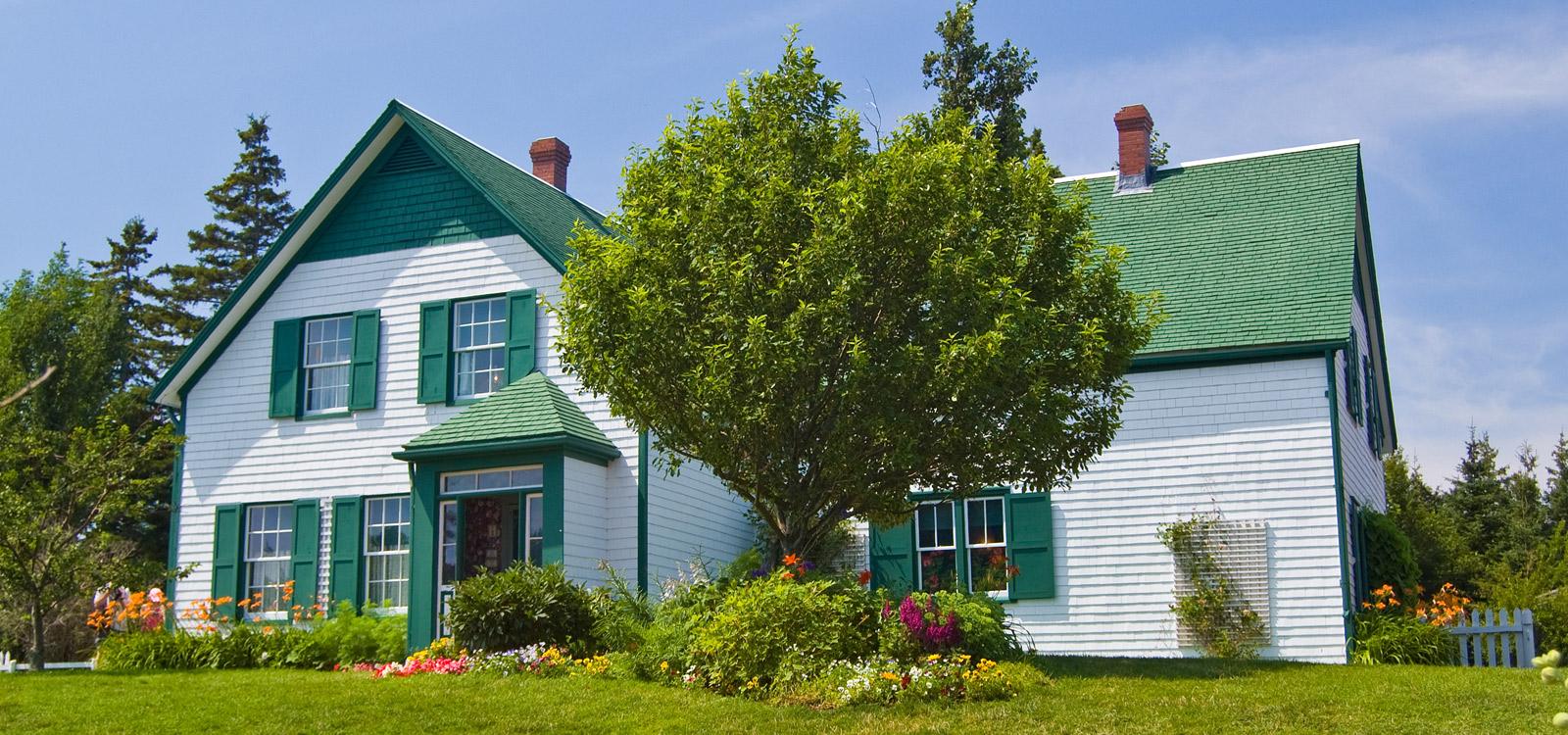
There’s so much to see and do on the northern shores of Queens County – this is where author Lucy Maud Montgomery based her famous "Anne of Green Gables" novels. It's also where you’ll find Prince Edward Island National Park.
Rustico to Cedar Dunes Park
Cedar Dunes Park to Summerside (via North Cape)
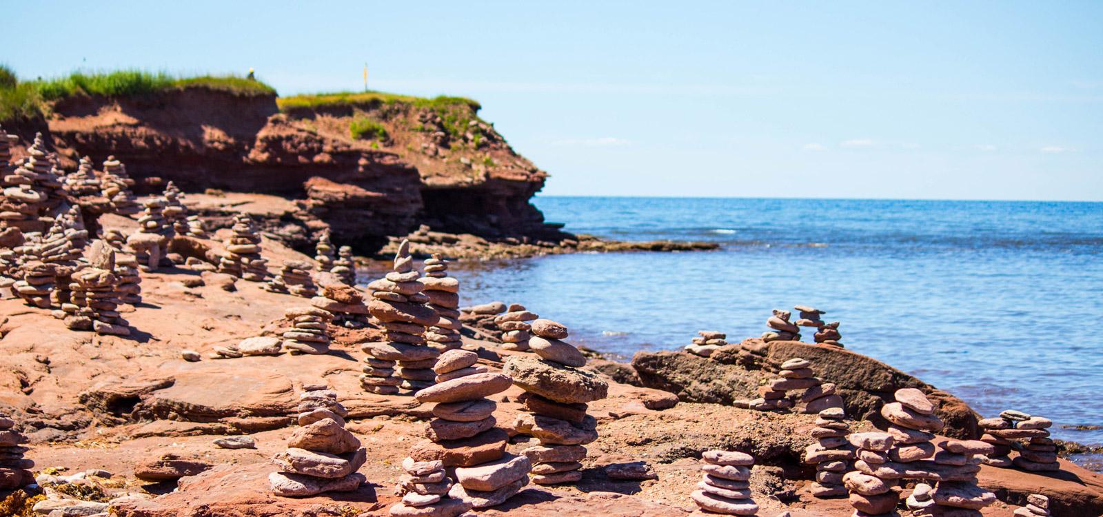
As you continue along the coast, the views to the west slowly overwhelm you. Steep, brick-red cliffs that look like they have been ripped from the side of Mother Earth give way to gentle sand beaches, and then rise again to form spectacular new rises.
Summerside to Charlottetown (Route 225)
The next two days are yours to explore Charlottetown and the surrounding area. We suggest checking out any local festivals and music as the summer is a vibrant time to be visiting this special east coast town.
Charlottetown
Today we suggest you complete your circle of Prince Edward Island by heading south-east on Highway 1 through Cherry Valley to Point Prim and Wood Islands.
Charlottetown to Sackville (via Confederation Bridge)
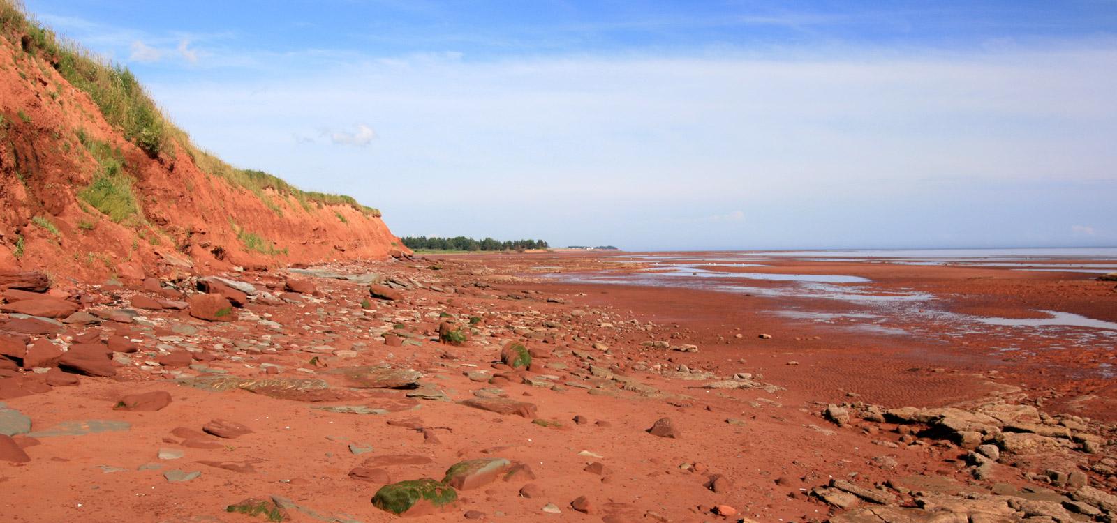
Today you’ll head out on the Trans Canada Highway towards Cornwall to explore Red Sands Shore – situated on the southern shores of Queens County.
Sackville to Halifax
For those with little time to spare before the end of your RV vacation, today marks your return to Halifax where we suggest you take time to visit Halifax’s many attractions before returning your RV to CanaDream.
Trip Details
You’ll begin your journey by driving north to Caribou where you’ll take The Caribou-Woods Islands ferry to Prince Edward Island. Check sailing times and make necessary reservations.
The Northumberland Strait separates the rest of Canada from PEI. Our recommended campground for tonight is Northumberland Provincial Park on Route 4, 3km east of the Wood Islands ferry. Advance reservations are essential as this is a very busy park. The park is open from late May until mid-September.
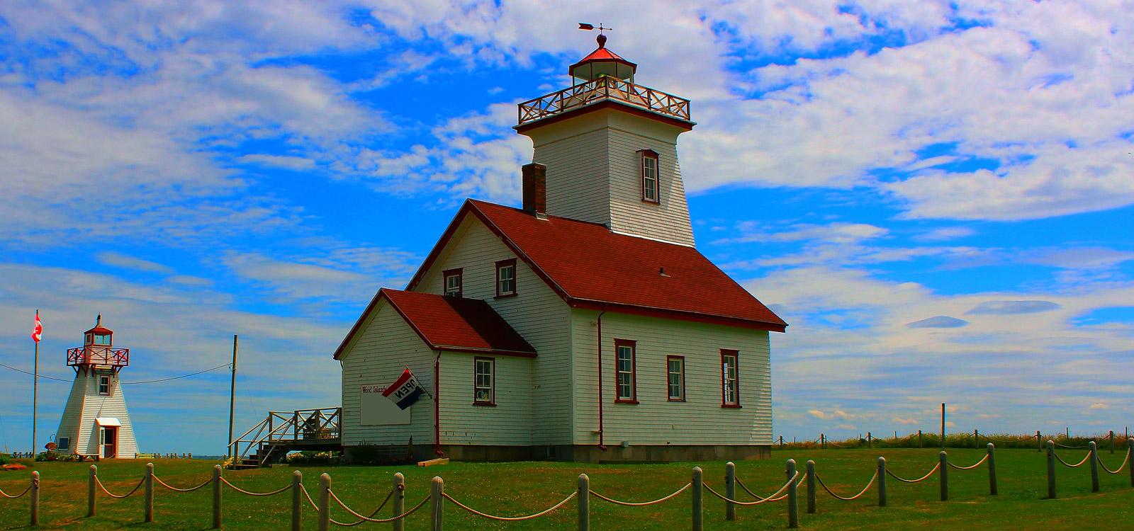
Before heading out along the Kings Byway today, you may like to take a trip into Wood Islands Provincial Park – a day use park which features the most photographed lighthouse on the island. Take Highway 4 to Little Sands, named for the sandy shore between Wood Islands and High Bank. North east of High Bank you’ll reach the junction of Hwys 4 and 18. Here you should take Highway 18 through Guernsey Cove to Cape Bear.
As you enter the community of Beach Point, turn right onto Beach Road where a short drive brings you beautiful white sand beaches.
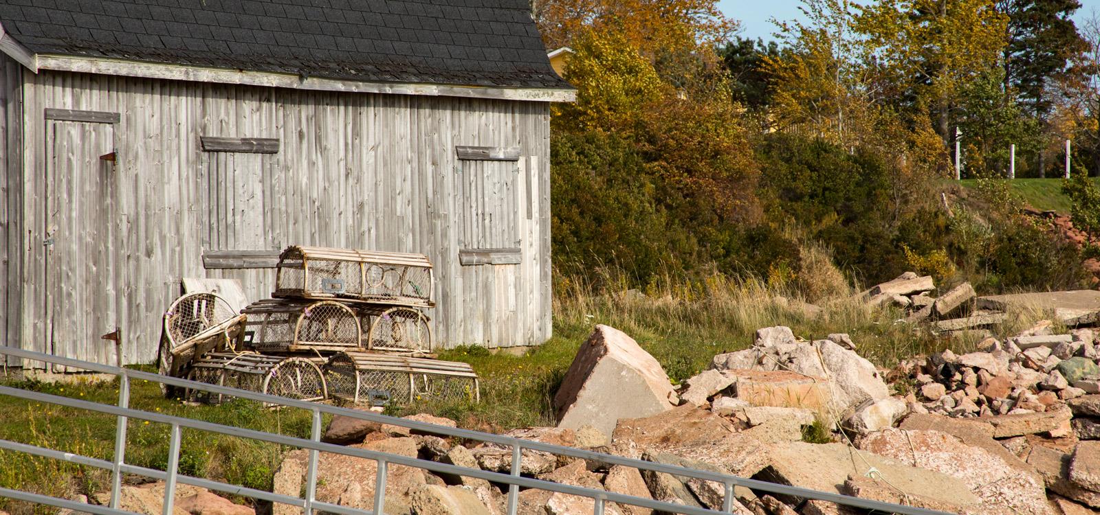
Continue on Highway 18A on to Murray Harbour. Less than 10 km down the road you’ll cross the Murray River and enter the town of the same name. The Kings Byway continues to Murray Harbour North, another small fishing wharf. Here you will have a good view of the Seal Islands and mussel leases in the bay. Past Gaspereaux, you’ll reach the junction of highway 17 and the road to Panmure Island. The island is joined to the rest of PEI by a narrow man-made causeway and beautiful sandy beach. Return to Highway 17 and, after crossing the Sturgeon River, take a side trip on route 317 to Buffaloland Provincial Park before arriving at your destination for today, Georgetown.
The road meanders around Cardigan and Boughton Bays while passing through small towns.
Consider Spry Cove as your first stop today. Continue on past the brightly coloured houses popular in this part of Canada through Howe Bay and Fortune Bridge. This area is a favourite for canoeing and the backwaters are home to cormorants and herons.At Rollo Bay West, turn right onto Hwy 2 and proceed northeast. Surrounded by the Souris River, Colville Bay and farmland, Souris is the largest centre in Eastern Kings County. The ferry to the Magdalen Islands leaves from here. About 12km from Souris, you’ll reach Basin Head. Here there’s a spectacular golden sand beach, which sings when you walk on it.
North Lake is the self proclaimed Tuna Fishing Capital of the World. On a clear day you may see the tuna boats off in the distance in the Gulf of St Lawrence. At the junction of Hwys 16 and 336 you can take a side trip down into Greenwich or decide to continue on to the town of St Peters. And, at Tracadie Cross, turn right on Route 219 and head for Rustico for your overnight stop.
CanaDream Club Partners:
There’s so much to see and do on the northern shores of Queens County – this is where author Lucy Maud Montgomery based her famous "Anne of Green Gables" novels. It's also where you’ll find Prince Edward Island National Park. The Park itself is home to sand dunes, barrier islands and sand spits, beaches, sandstone cliffs, wetlands and forests.
The Park also features Green Gables, part of L.M. Montgomery’s Cavendish National Historic Site, and Dalvay-by-the-Sea National Historic Site.
Overnight again in Rustico at your camping spot of choice or travel on to the Darnley Beach area. Enjoy beachcombing and clam digging and one of the Island's best beaches for swimming and sunbathing.
CanaDream Club Partners:
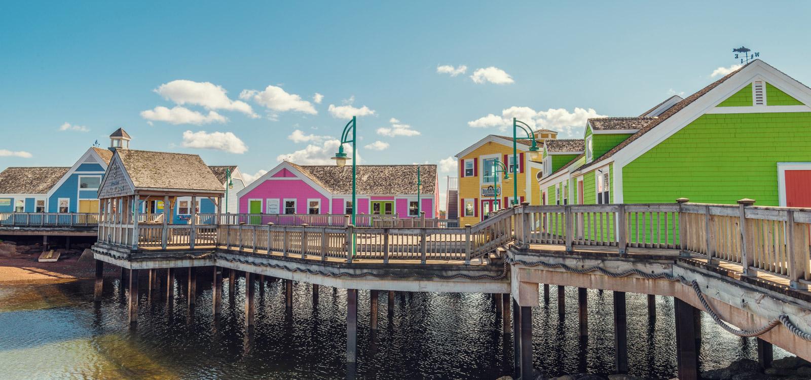
Today you’ll venture south west to the town of Summerside to begin your exploration of Princes County. In Summerside, start with a stroll through the downtown.
As you travel along the coast, stop and enjoy the ocean breeze and gorgeous seaside. Visit Cape Egmont wharf where the view of the red stone cliffs and the Cape Egmont Lighthouse standing guard for the fishermen is spectacular.
In Wellington, a visit to the recently revitalized Barlow’s Pond and Old Mills Park is a must, which includes a Welcome and Interpretive Centre, a dam and fish ladder, a walking bridge over the pond, a Gazebo, boardwalks and walking trails.
Back on Highway 11, the road passes through St-Chrysostome and Victoria West. Just out of Mt Pleasant, the road rejoins route 2 and continues to Portage. For the next 18km the land is very low and boggy with few points of interest. At Woodstock, the Mill River Provincial Park offers the opportunity for outdoor recreation and camping.
From Woodstock, take Route 143 and then turn south at Route 148 to O’Leary. Here PEI’s most famous export is celebrated at the PEI Potato Museum. Continue south to West Point and Cedar Dunes Provincial Park. This may be an ideal place to camp for the night. Here you can fall asleep to the sound of the waves kissing the shore and you’ll feel as if you were camping on the beach.
CanaDream Club Partners:
As you continue along the coast, the views to the west slowly overwhelm you. Steep, brick-red cliffs that look like they have been ripped from the side of Mother Earth give way to gentle sand beaches, and then rise again to form spectacular new rises.
All along the North Cape Coastal Drive you’ll find places worth stopping “just to have a look”. As you travel the coast, you’ll also want to find safe places to pull off the road and spend some time just looking at the water, perhaps even exploring its edge. You’ll find a number of scenic lookouts for just that purpose.
As you approach Miminegash, if the tides and winds are right, you might be lucky enough to see Irish Moss harvesters. Driving through the region you’ll see many Clydesdales and Belgians, working or relaxing in the pastures along the way. While in the area, enjoy an exotic treat … if you dare! The Seaweed Pie Café offers you the change to enjoy a tasty dessert of seaweed pie.
Further up the road, stop and enjoy the spectacular dunes at Skinner’s Pond. From there it’s a short drive to Tignish and North Cape.
North Cape has long been famous for its natural wonders, including the longest natural rock reef in North America and the ‘meeting of the waters’. At low tide, you can walk out almost a kilometre onto the reef and, as the tide moves in, you can witness the Gulf of St Lawrence and the Northumberland Strait merge together over the reef. It’s an ideal location for seal watching. For those who live for sunsets, they just don’t get any better than this. People drive here just to witness this amazing panoramic view of the ocean.
Tignish is famous for its harbour, its church and its community spirit. When you leave Tignish heading toward Alberton, be sure to make a stop at Jacques Cartier Provincial Park. The shore road then takes you to the bustling Town of Alberton and nearby Northport.
Next stop is Bideford, where author Lucy Maud Montgomery lived during 1894-95, when she was a schoolteacher at the local one-room school. Before you return to Summerside make time for a visit to Green Park.
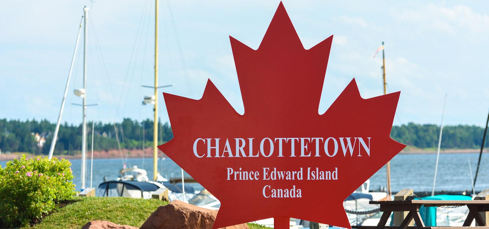
The next two days are yours to explore Charlottetown and the surrounding area. We suggest checking out any local festivals and music as the summer is a vibrant time to be visiting this special east coast town.
Consider visiting Founders Hall to take in some history or a take a guided walking tour in the Historic District with the Fathers and Ladies of Confederation.
A visit to Historic Great George Street is a must. Stop at St Dunstan's Cathedral Basilica, one of many great churches located throughout the city. Visit Province House National Historic Site of Canada, the official Birthplace of Confederation and a Charlottetown landmark.
Stroll through Victoria Park or take in a panoramic view of Charlottetown's waterfront. Discover Charlottetown by land then "splash" into the water with Harbour Hippo Tours for a relaxing harbour cruise or take a seaplane air tour with Tartan Air.
Today we suggest you complete your circle of Prince Edward Island by heading south-east on Highway 1 through Cherry Valley to Point Prim and Wood Islands. At Wood Islands, where you began your Prince Edward Island tour, take time to re-explore before heading back to Charlottetown via Mt Stewart, Frenchfort and Marshfield.
A recommended first stop would be at Orwell Corner Historic Village and just south of Eldon is the Croft House Selkirk Cultrual and Interpretative Centre. Both interesting stops.
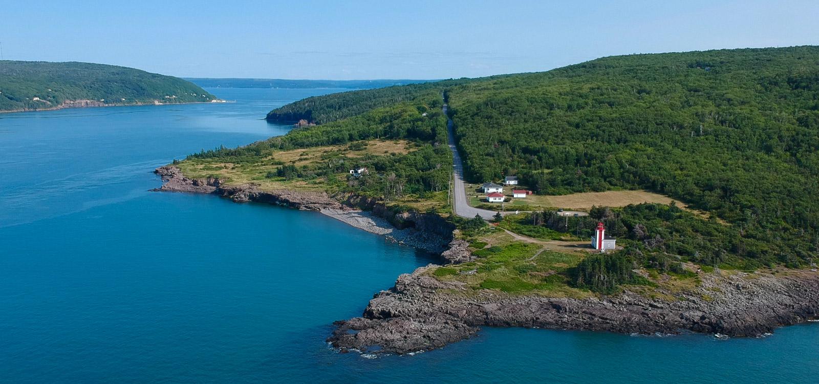
Look for the turn-off to Point Prim between Belfast and Pinette along your way. At the end of the road turn left in through the woods to the Point Prim light. The lighthouse is the oldest lighthouse on PEI, built in 1846, and the only round one. We suggest stopping for a picnic here.
Continue along the Trans Canada towards Wood Islands. If you feel like a small side diversion, look for the turn-off to Simon's Beach at Flat Creek. Here you will find a beautiful sandy beach in an extremely scenic location. If you didn't visit Wood Islands Provincial Park at the start of your PEI tour, spend time here before continuing your drive.
Here we leave the Points East Coastal Drive and will re-join it just out of Mount Stewart, where the Hillsborough Canadian Heritage River almost splits Prince Edward Island in two. Designated in 1997, this 45km waterway flows east to west and is a rich breeding area for birds and other creatures of land and sea.
Head south again on highway 2, making a stop at the Scotchfort Scenic Look Off. This First Nations site is beside a monument to the Hillsborough Canadian Heritage River. From here, it's a short drive back into Charlottetown.
Today you’ll head out on the Trans Canada Highway towards Cornwall to explore Red Sands Shore – situated on the southern shores of Queens County. At the Cornwall Shopping Centre, turn left and head south along Route 19. Here you’ll find farming country with houses and cottages scattered along the road and shore.
The West River Causeway is a good place to stop and stretch your legs. Many local boat owners moor their boats here in the summer and the kids in the area love to jump off the two bridges which make up the crossing here.
At New Dominion, the road takes a left turn and heads east. Travel through Fairview to Rocky Point, directly across from Charlottetown. The Point forms one of the shores of the entrance to the harbor.
Fort Amherst and Port La Joie are now protected as a National Historic Sites. As you continue along, the road rounds the point and heads west along the south shore of the Island. This area is called Cumberland, the shore offers a great view of St. Peter's Island and you can see across the strait to Nova Scotia.
At Nine Mile Creek you get a closer look at St. Peter's Island across ripening fields of grain and you can look southward toward Rice Point. At low tide you can walk from Rice Point out to St. Peter's Island on the mudflats. At high tide you would have to swim so don't stay too long.
At the Canoe Cove Junction turn left. If you drive along another 0.6 km (0.4 miles) you can turn left at the corner and go down to Canoe Cove Park. Stay and play on the beach before continuing westward towards Hampton and Victoria.
Just before Victoria is Victoria Park, where you can stop and have a picnic overlooking the strait.
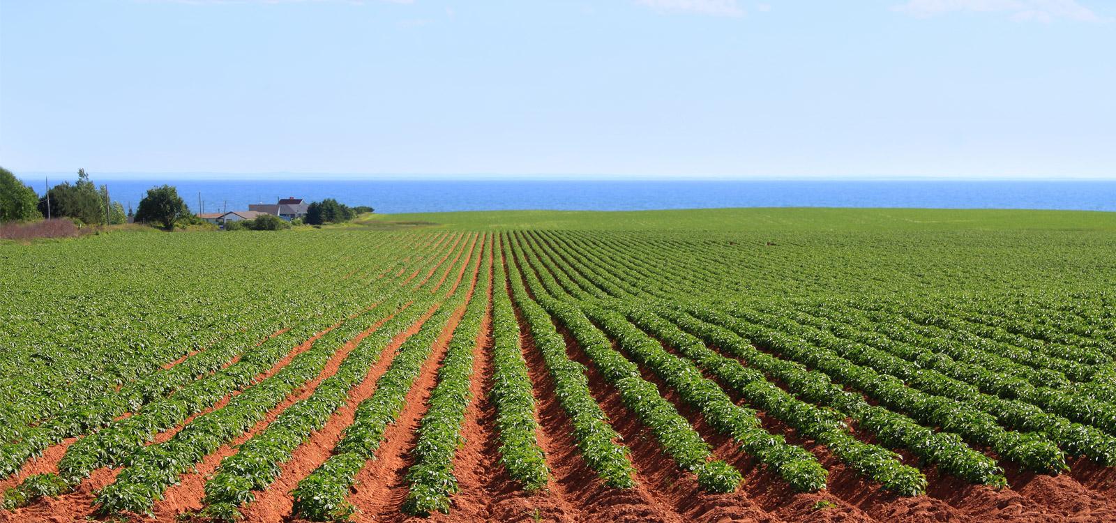
At Tryon, turn left off the highway onto route 10. Be careful, the turn is on a curve to the right and, as you go left, you go over the crest of the road onto the side road. Go down the hill, turn left, then go a short distance and turn right onto the small bridge spanning the Tryon River. You are now entering the heart of potato country.
Near Cape Traverse is the first good place to view the Confederation Bridge. Continuing on route 10 you pass by Borden which is where the bridge begins.
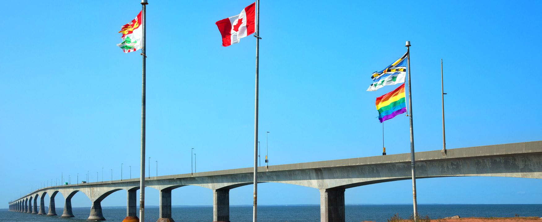
The 12.9 km (8 mile) long Confederation Bridge is the longest in the world crossing ice-covered water. It is a toll bridge – the toll being payable when leaving Prince Edward Island at the toll plaza in Borden – Carleton. Take the bridge and drive to Sackville, New Brunswick, where you’ll set up camp for the night.
For those with little time to spare before the end of your RV vacation, today marks your return to Halifax where we suggest you take time to visit Halifax’s many attractions before returning your RV to CanaDream.
If your plans are to be on the road a little longer, we suggest that you consider traveling today to Amherst, Pugwash and Tatamagouche. Visit Cape Breton National Park and back through Sydney and Liscome before returning you to Halifax. Check out our other East Coast itineraries if you’d like to extend your travels.
CanaDream Club Partners:
