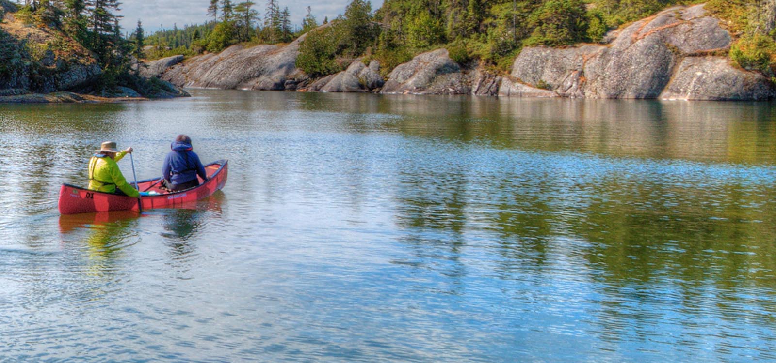
The Fur Trade Route
Overview
Print Page
Route - 3780 km / 2349 mi
| Day | Location | Distance | Duration |
|---|---|---|---|
| 01 | Toronto to Parry Sound | 200 km / 124 mi | Approx. 2 hours and 30 minutes |
| 02 | Parry Sound | 10 km / 6 mi | Full Day |
| 03 | Parry Sound to Sudbury | 170 km / 106 mi | Approx. 2 hours |
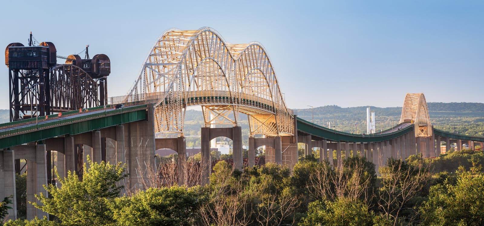
| 04 | Sudbury to Sault Ste Marie | 320 km / 199 mi | Approx. 3 hours 45 minutes |
| 05 | Sault Ste Marie | 10 km / 6 mi | Full Day |
| 06 | Sault Ste Marie to Wawa | 230 km / 143 mi | Approx. 2 hours 40 minutes |
| 07 | Wawa to Nipigon | 360 km / 224 mi | Approx. 4 hours |
| 08 | Nipigon to Thunder Bay | 120 km / 75 mi | Approx. 1 hour 20 minutes |
| 09 | Thunder Bay to Fort Frances | 330 km / 205 mi | Approx 3 hours 50 minutes |
| 10 | Fort Frances to Kenora | 220 km / 137 mi | Approx. 2 hours 30 minutes |
| 11 | Kenora to Thunder Bay (Sleeping Giant Provincial Park) | 488 km / 303 mi | Approx. 5 hours 25 minutes |
| 12 | Thunder Bay to Manitoulin Island | 1039 km / 646 mi | Approx. 11 hours 30 minutes |
| 13 | -- | ||
| 14 | Manitoulin Island | 10 km / 6 mi | All day |
| 15 | Manitoulin Island (South Baymouth) to Tobermory | 50 km / 31 mi | Approx. 1 hour 45 minutes |
| 16 | Bruce Peninsula National Park | 20 km / 12 mi | All day |
| 17 | Tobermory to Toronto | 296 km / 184 mi | Approx. 3 hours 36 minutes |
Toronto to Parry Sound
Parry Sound
Parry Sound to Sudbury
Sudbury to Sault Ste Marie
Sault Ste Marie
Sault Ste Marie to Wawa
Wawa to Nipigon
Nipigon to Thunder Bay
Thunder Bay to Fort Frances
Fort Frances to Kenora
Kenora to Thunder Bay (Sleeping Giant Provincial Park)

Thunder Bay to Manitoulin Island
Manitoulin Island
Manitoulin Island (South Baymouth) to Tobermory
Bruce Peninsula National Park
Tobermory to Toronto
Trip Details
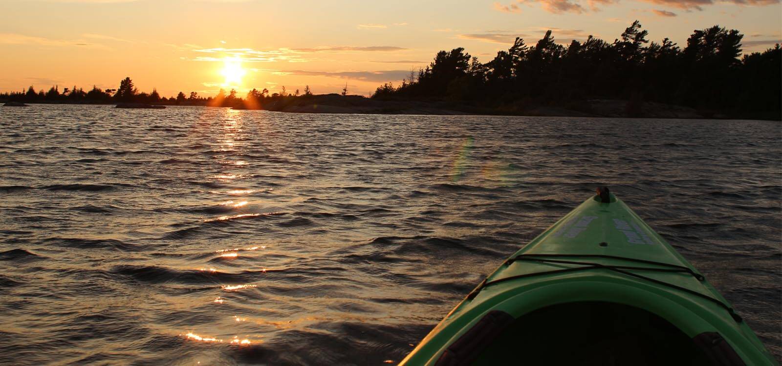
Easy driving today as Hwy 400 whisks you quickly to Parry Sound. Few roads head west past Port Severn and before you know it, you’ve reached the turn-off to your first overnight destination.
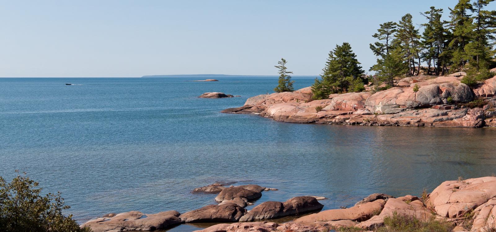
Parry Sound has a rich history to explore that includes Ojibway Indian settlements and pioneer homesteads and is revered for water activities which include sailing, cruising, canoeing, kayaking and fishing. Drive by Oastler Lake Provincial Park (a great place to camp) before arriving in this city of fewer than 10000 people. If time permits, call at the Tourism office for hints on things to do whilst here.
See and Do:
Oastler Lake Provincial ParkCanaDream Club Partners:
A full day here to explore. Take a look at Georgian Bay’s wild and rugged outer islands on the Island Queen or get a bird’s eye view on a scenic flight with Georgian Bay Airways.
Walking paths will take you to many local attractions including the museum and heritage gardens. If cruising, flying or walking don’t appeal – how about a day trip into Kilbear Provincial Park?
See and Do:
- "Island Queen" Cruise
- Scenic flight
- Walking
- Parry Sound Museum and Heritage Gardens
Early risers might like to take a side trip today en route to Sudbury. Killarney Provincial Park’s landscape showcases the wild Georgian Bay Coast of pink granite and includes more than 50 clear lakes nestled amongst forested hills. Take a hike or a paddle here or perhaps just picnic then cover the 100 km distance on to Sudbury.
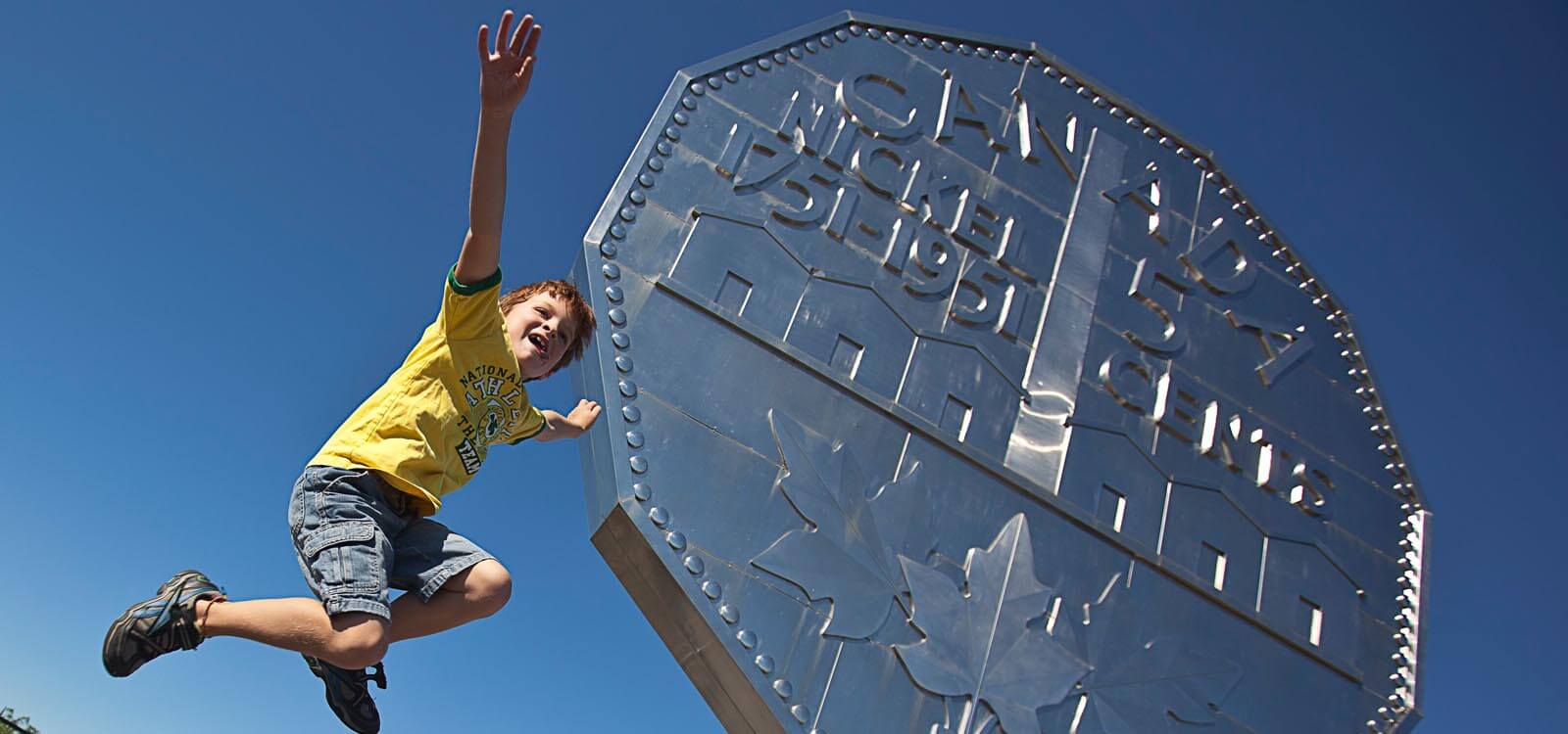
The largest city in Northern Ontario, Sudbury will surprise you with its vibrancy, history and outdoor lifestyle. With a geographic area of 3627 kilometres, it is home to 330 lakes including the largest city-contained lake in the world.
See and Do:
- Killarney Provincial Park (optional side trip)
- Science North
- Dynamic Earth
- Big Nickel
- Northern Ontario Railway Museum
- Fishing
The Trans Canada continues its winding way west, again welcoming the shores of Lake Huron at the small town of Spanish. The waterfront here is a haven for birdwatchers.
Further west, Lake Huron’s north shore is dotted with small towns, lakes by the dozens and a lot of open space. Stop at Iron Bridge to view replicas of the first homesteads in the area and at the Timber Village Museum in Blind River for an insight into life in early lumber camps. About 70 east of Sault Ste Marie, the first copper mine in North America was established in the town of Bruce Mines. If time is on your side, take a side trip over to St Joseph Island to explore the ruins of Fort St Joseph National Historic Site dating back to the war of 1812.
As you pass through Echo Bay, look out for the largest loonie in the world, a monument erected to commemorate Canada’s centennial in 1987.
See and Do:
- Spanish
- Iron Bridge
- Blind River
- St Joseph Island
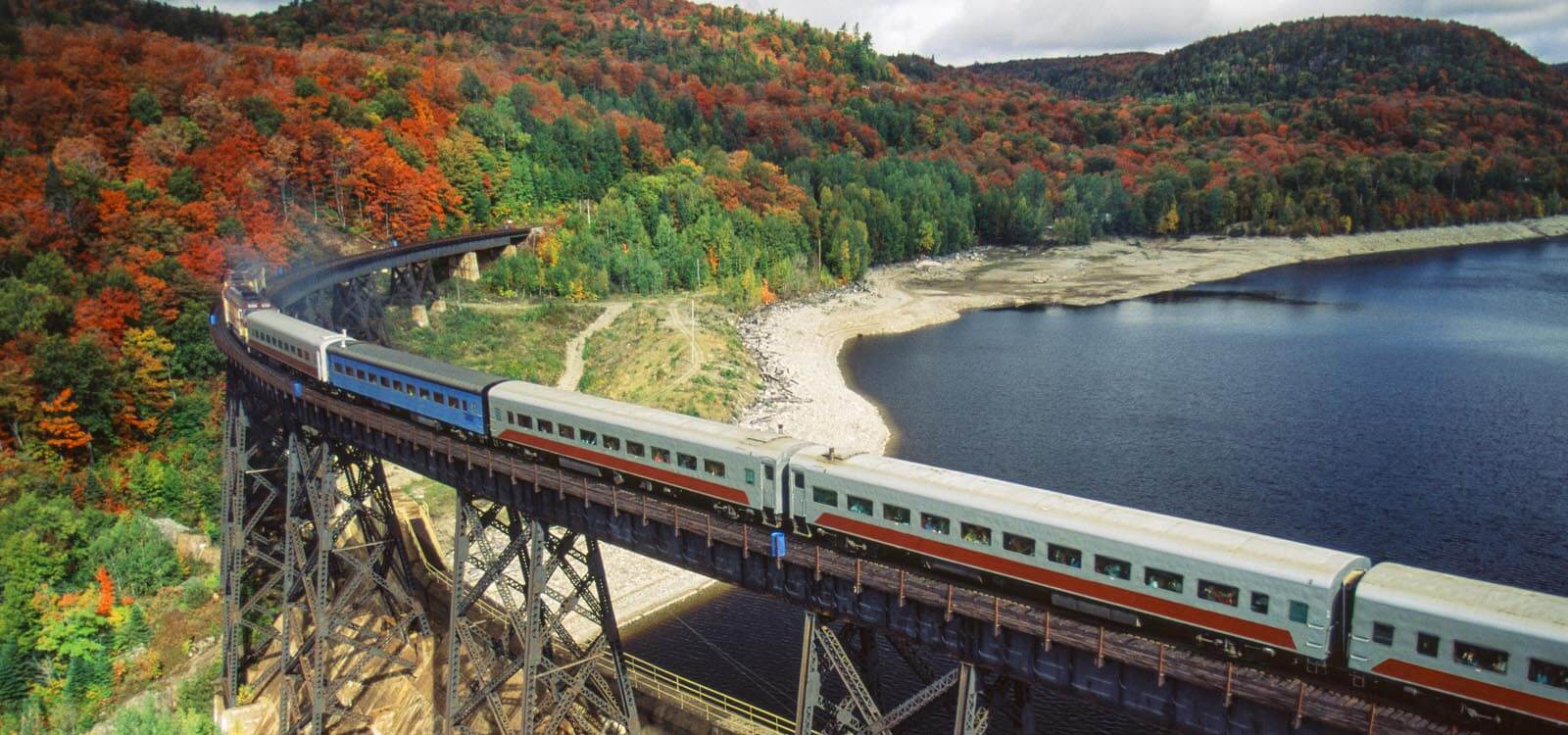
A full day here to explore. The number one attraction here is a trip on the Agawa Canyon Tour Train available from early June to mid-October.
Sault Ste Marie (or the Soo as the locals know it) borders a city of the same name across the St Marys River in Michigan. Here a two-hour tour takes visitors through the American Soo Locks, the Canadian Locks, three hydro-electric plants and historic waterfronts on both sides of the border. Back on the Canadian side the Sault-Ste-Marie Canal National Historic Site documents the last link in an all-Canadian navigational chain from the Atlantic to Lake Superior. No visit to the Soo would be complete without checking out the Canadian Bushplane Heritage Centre. This hands-on museum tells the story of Canada’s bushplane and forest fire heritage and has on display one of the first Beaver float planes ever produced.
See and Do:
- Agawa Canyon Tour Train (in season)
- Soo Locks Tour
- Canadian Bushplane Heritage Centre
- Sault-Ste-Marie Canal National Historic Site
CanaDream Club Partners:
Some spectacular coastal views greet you today as you make your way north-west to Wawa. Look out for a pull out on the right side of the highway at Chippewa River and stop to view the Falls. A plaque here marks the half-way point on the Trans Canada Highway between St John Newfoundland and Victoria BC.
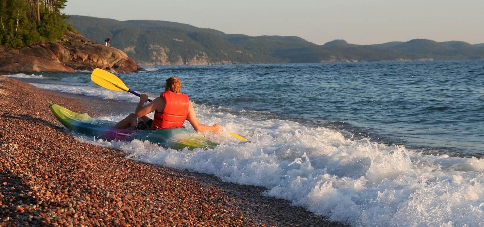
The shoreline is dotted with sheltered bays and sandy beaches. Provincial Parks at Batchawana Bay and Pancake Bay provide opportunities to dip your toes in the water or just take a break.
At Agawa Bay, the visitor centre highlights the cultural history, natural features and recreational opportunities in nearby Lake Superior Provincial Park. Visitors can enjoy world-class hiking and paddling opportunites in the Park, which also offers two campgrounds for RV camping. From here, the highway leaves the coast and continues its tree-lined route on to Wawa.
See and Do:
- Chippewa Falls
- Voyageurs’ Cookhouse
- Bachawana Bay Provincial Park
- Pancake Bay Provincial Park
- Agawa Bay and Agawa Rock
- Lake Superior Provincial Park
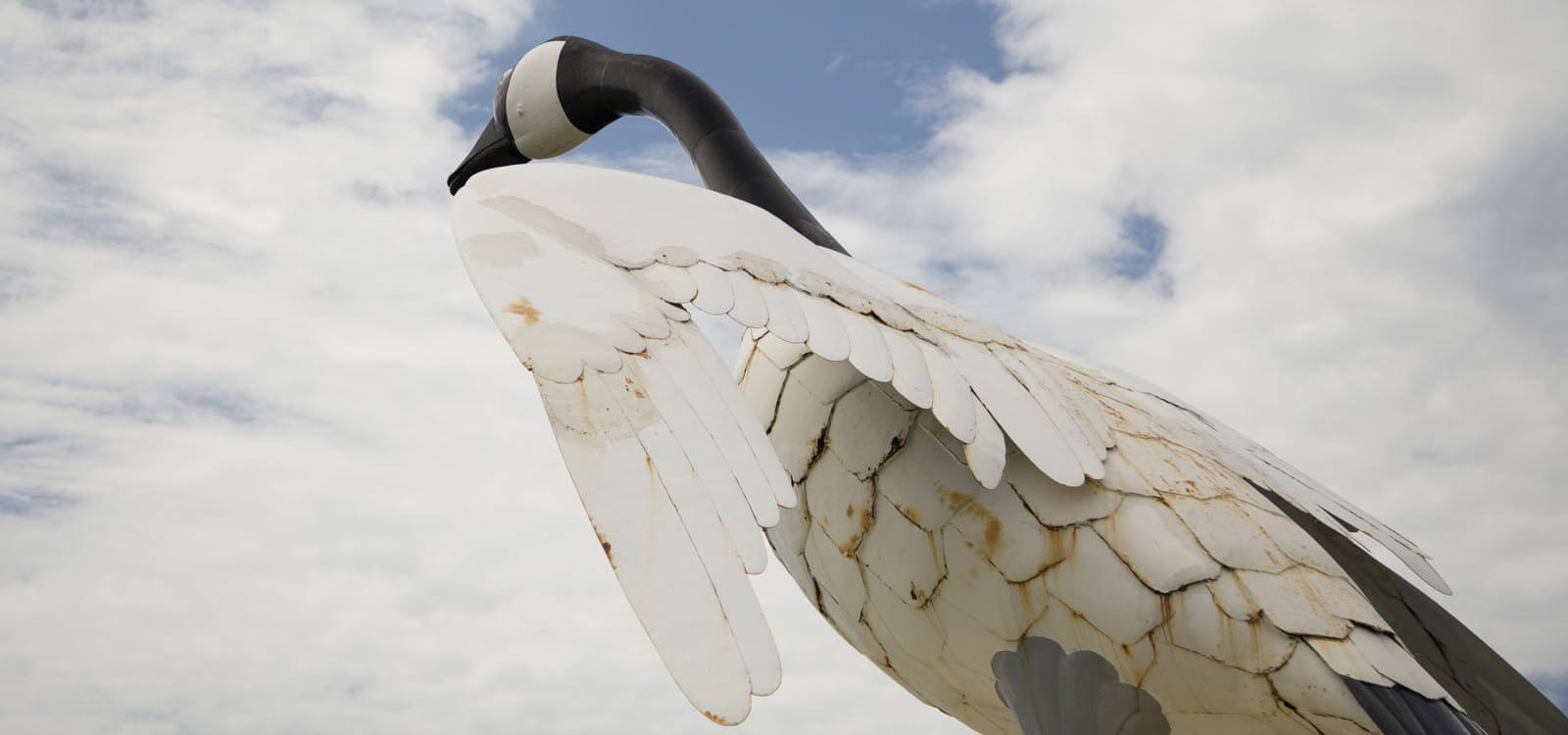
Before hitting the road today, check out the famous Big Goose monument overlooking the entrance to Wawa. Follow the “Signs of History” that explain the town’s early beginnings.
You’ll leave the coast behind as the Trans Canada winds inland, passing through small towns before rejoining it an hour east of Nipigon. Stop at White River, famous for its Winnie-The-Pooh statue built to commemorate the black bear cub that became the mascot for the Canadian troops serving overseas in World War II. The museum here is worth a visit.
Take a short side trip off the highway into Marathon and wander along Pebble Beach, known for its polished stones. Nearby is Pukaskwa National Park, popular for hiking, paddling, sandy beaches and camping.
At Terrace Bay, follow the Casque Isles hiking trail for 2km to the beach where you can walk knee-deep through rye grass. From May to October, climb to the top of the Terrace Bay Lighthouse for breathtaking views of Lake Superior, Slate Islands and surrounding areas.
Stop at Aguasabon Falls and Gorge, located a half mile off Hwy 17. Follow the boardwalk to view a magnificent 100-foot waterfall tumbling over a 2.6 billion year old rock face into a deep gorge.
A little further west, Rainbow Falls Provincial Park offers hiking opportunities leading to panoramic views of Lake Superior and Whitesand Lake.
See and Do:
- Big Goose Monument
- Winnie-the-Pooh statue
- Pebble Beach
- Pukaskwa National Park
- Terrace Bay
- Aguasabon Falls
- Rainbow Falls Provincial Park
Take a self-guided walking tour of the Nipigon Heritage Museum this morning and learn about the history of the town. Climb the Bridgeview Lookout Tower for a 360 degree view of the river. Nipigon is renowned for great fly fishing, outdoor adventure and rugged landscapes.
The short drive today will allow ample time to explore as you make your way to Thunder Bay.
See and Do:
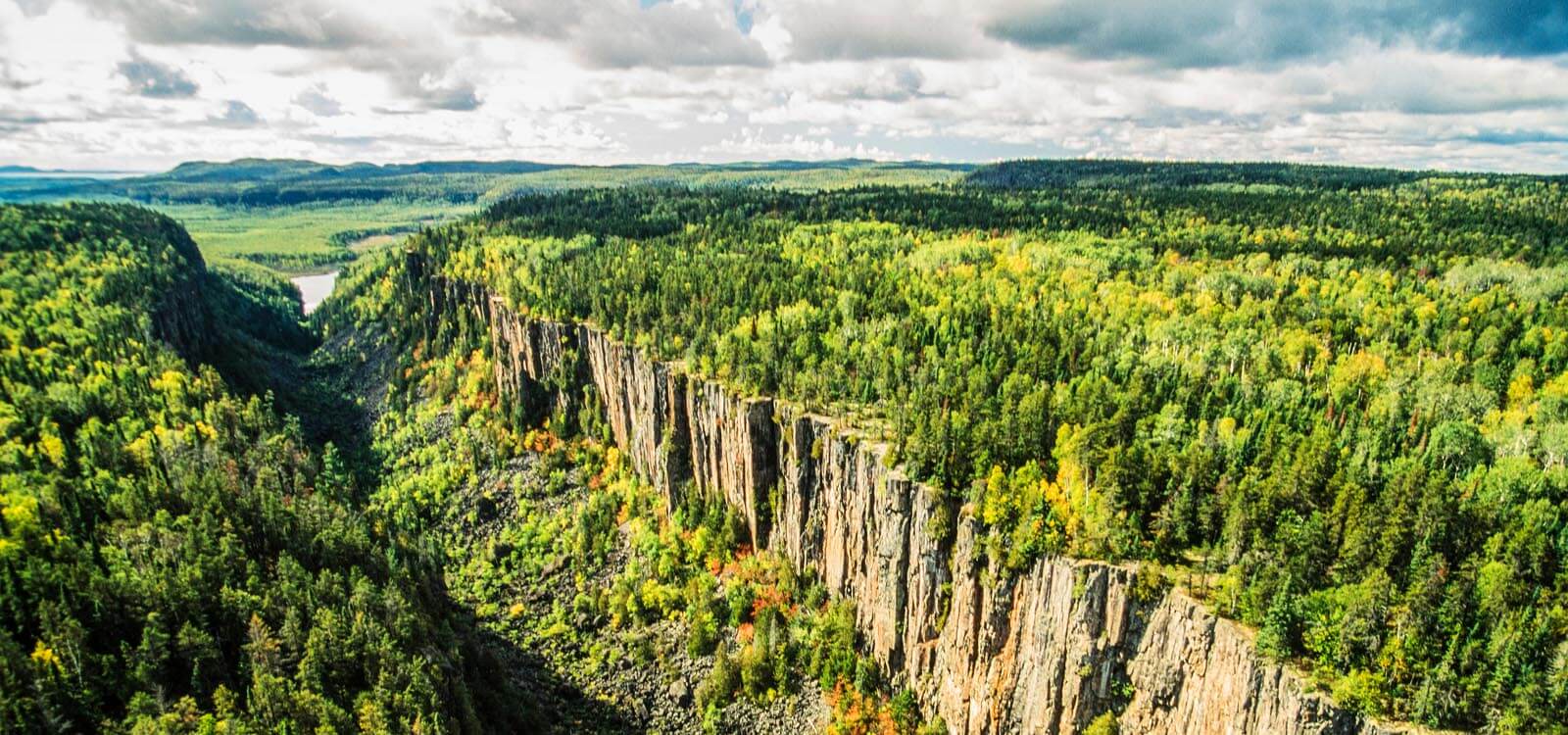
- Ouimet Canyon
- Sleeping Giant Provincial Park
- Fort William Historical Park
- Cascades Conservation Area
- Kakabeka Falls
- Terry Fox Monument
- Harbourfront
CanaDream Club Partners
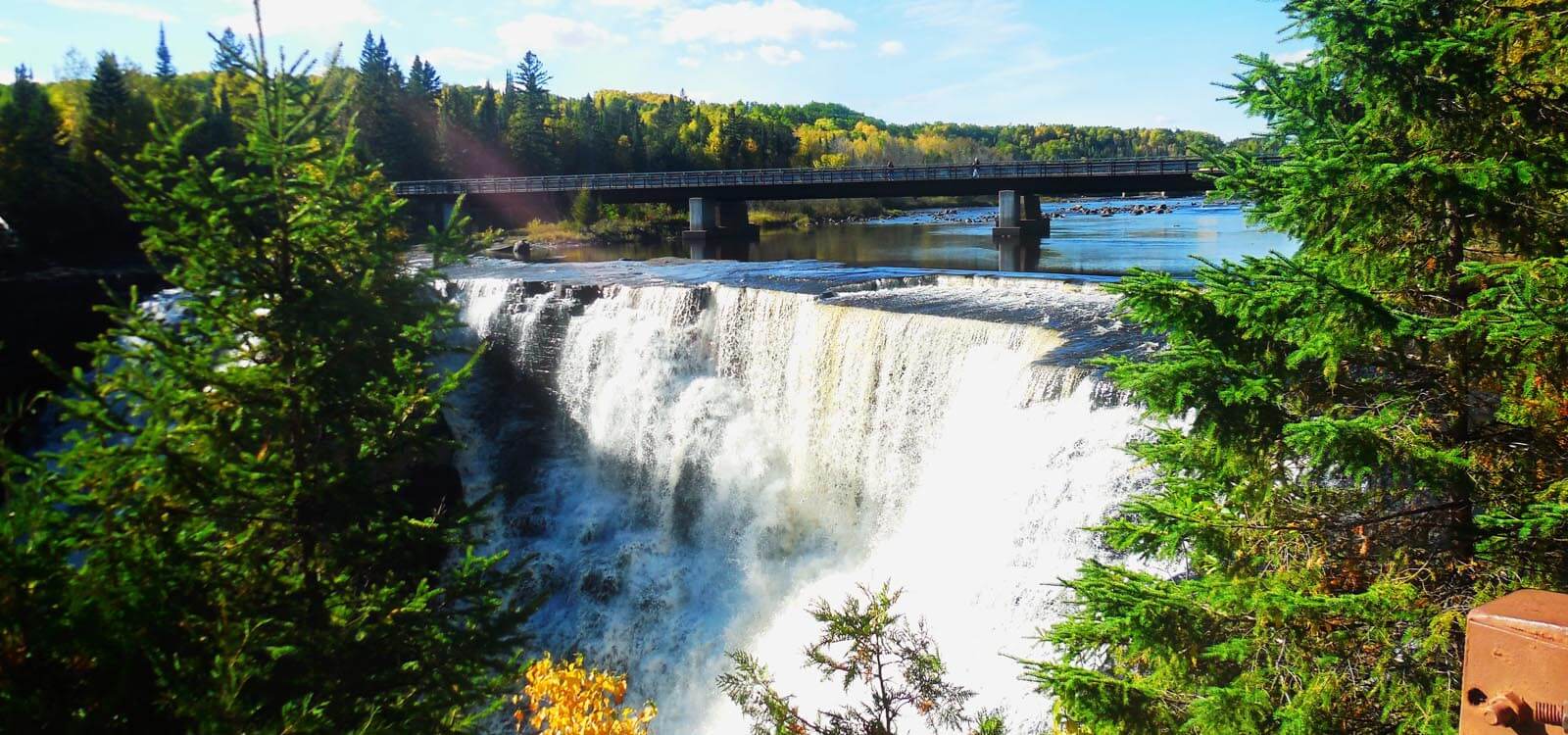
If you didn’t already manage to visit Kakabeka Falls, you'll have another opportunity as you pass by it on your journey west. Stop in at Quetico Provincial Park and enjoy a picnic by French Lake. Quetico is renowned for its towering rock cliffs, waterfalls, and lakes and is a popular destination for backcountry canoeing.
The small town of Atikokan lays claim to being the Canoeing Capital of Canada. The Centennial Museum and Historic Park here recounts the role of mining in the early development of the town.
Small Islands and large lakes greet you again as the Trans Canada meanders its way to Fort Frances. Rainey Lake narrows to become Rainey River and historic plaques line the La Verendrye Parkway describing the rivalry between the Hudson Bay and Northwest Trading Company for furs along the canoe route.
See and Do:
- Quetico Provincial Park
- Atikokan Centennial Museum
- Noden Causeway
- Fort Frances Museum
- Hallett, Lookout Tower
- Rainy Lake Mermaid
- LaVerendrye Parkway
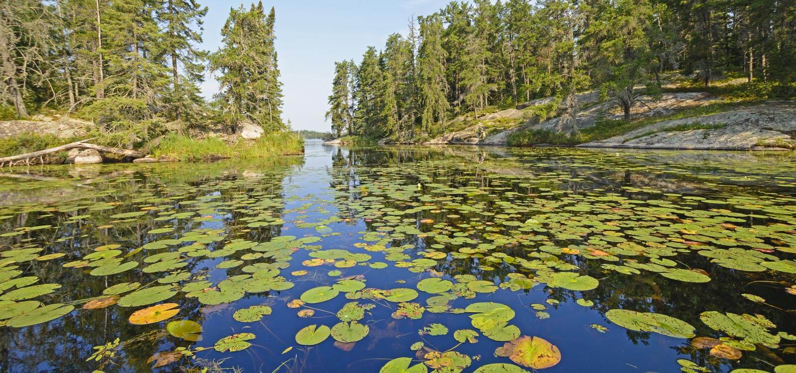
Once known as the King’s Highway, the Trans Canada takes a sharp northerly route from Fort Frances meandering around the east shore of beautiful Lake of the Woods after it leaves Nestor Falls. Nestor Falls attracts flocks of pelicans to the base. Wilderness Tours are also available in the town offering an introduction to sport fishing in the area. Nearby, Sioux Narrows Provincial Park draws visitors for boating, swimming, sailing and canoeing.
Whitewater rapids flow over ancient rocks gouged by glaciers at Rushing River Provincial Park, just east of Kenora. Here there are endless opportunities for hiking and exploring.
See and Do:
- Caliper Lake Provincial Park
- Nestor Falls
- Sioux Narrows
- Rushing River Provincial Park
- Lake of the Woods Discovery Centre
- Heritage Townscape Murals
- Lake of the Woods Railroaders Museum
- Mather Walls House
- Loonie Bear
- Goodwill Geyser
Kenora marks the end of the Fur Trade Route on your Northern Ontario road trip but there’s much more in store on the return leg to Toronto. Outdoor recreation is the name of the game along Hwy 17 as you take an alternative route back to Thunder Bay.
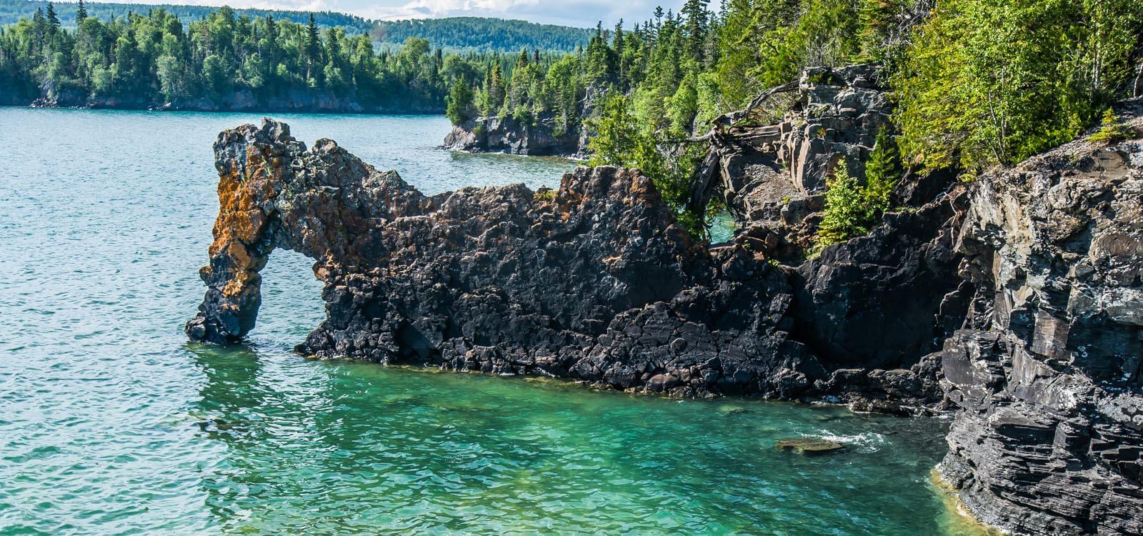
Visit Ontario’s smallest city at Dryden. Located on the Wabigoon River, it’s a fishermen’s paradise in both summer and winter. Tonight camp by the base of a sleeping giant at Sleeping Giant Provincial Park.
See and Do:
- Blue Lake Provincial Park
- Dryden & District Museum
- Sleeping Giant Provincial Park
- Soak in the spectacular scenery
CanaDream Club Partners
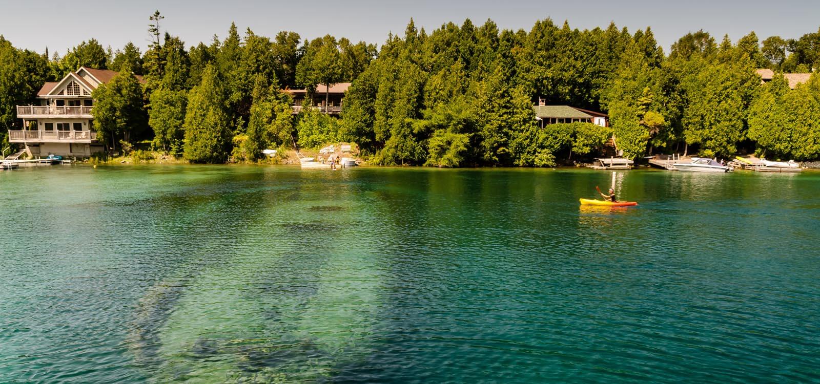
A two-day journey taking you to the largest freshwater island in the world. The scenery looks a little different travelling in the opposite direction so you might not even notice you’ve been this way before.
Take the opportunity to stop at places you may have missed on the outward journey. McKerrow marks the turn off to Manitoulin Island which is vehicle accessible only via the Little Current swing bridge. Spend some time in the town before heading to your chosen campsite for the night.
See and Do:
- The spectacular scenery and opportunities for hiking and picnicking along the way.
CanaDream Club Partners
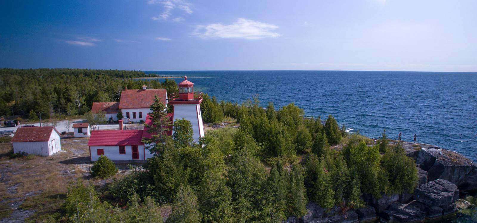
It’s rugged and rustic. People are few and nature is big. For those who love adventure, combined with relative seclusion, Manitoulin Island is the place to be. Paved roads take you to most points of interest, past lakes and through forested areas. Lighthouses dot the shoreline, the most westerly being at Mississagi where a campground provides ice, firewood and hot showers.
See and Do:
- Little Current Swing Bridge
- Bridal Veil Falls
- Hiking on the Cup and Saucer Trail
- Misery Bay Provincial Nature Reserve
- First Nations experiences (Great Spirit Circle Trail)
- Maja’s Garden
- High Falls
- East Bluff Lookout
- Meldrum Bay
- Mississagi Light House
- Old Mill Heritage Centre
- McLean’s Mountain Lookout
- Central Manitoulin Historical Society Pioneer Museum
- Providence Bay Beach
- Horseback riding
- Canoeing
See and Do:
- Big Tub Lighthouse/Harbour
- Little Tub Harbour
- Little Dunks Bay/Dunks Bay
- Burnt Point Loop Trail - Dunk’s Point
- Bruce Peninsula National Park Visitor Centre
- Lookout Tower
- Fathom Five National Marine Park
- Little Cove Beach
CanaDream Club Partners:
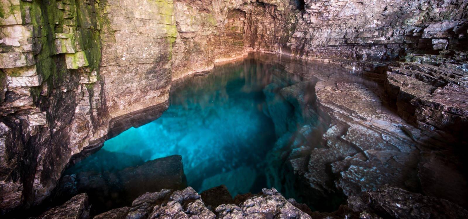
Spend today in Bruce Peninsula National Park. Here sheer cliffs rise from the turquoise waters of Georgian Bay and ancient cedar trees spiral from the cliff edge.
Book a time slot for parking at the Grotto Parking lot in advance. If you’re staying at the Cyprus Lake Campground, you can hike to the Grotto from there and leave your RV behind. Take a drive out to the Cabot Head Lighthouse or hike to the Devil’s Monument overlooking Dyer’s Bay. The choices here are endless. The national park campground is a logical choice for an overnight stay but private campgrounds are also plentiful in the area.
See and Do:
- Rock scrambling
- The Grotto
- Hiking
- Cabot Head Lighthouse
- Devil’s Monument
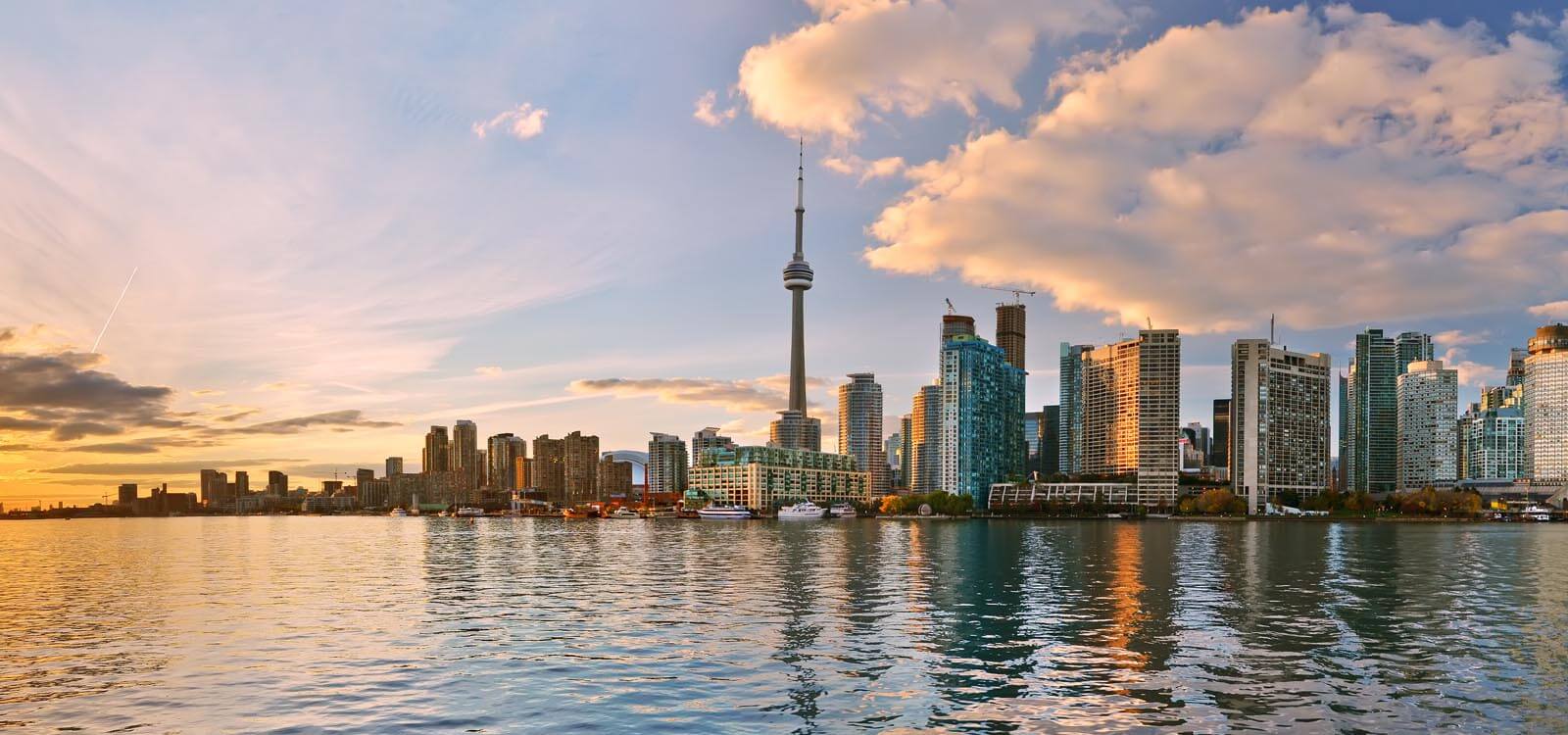
A leisurely drive back to Toronto will have you itching to explore out of the way places. The roads south crisscross in so many directions, it’ll be hard to decide what to see and do on your last day on the road. Let your adventurous spirit run wild!
CanaDream Club Partners:
- Saugeen Springs RV Park
- Silent Valley / A Parkbridge Cottage & RV Resort
- Toronto Helitours
- Haunted Walks Inc.
- Toronto Harbour Tours
- Ripley’s Aquarium of Canada
- CN Tower
- Real Canadian Superstore
- Best Western Plus Travel Hotel Toronto
- Shady Acres Cottage and RV Resort
- North Shore RV Park
- Kingston Walks
